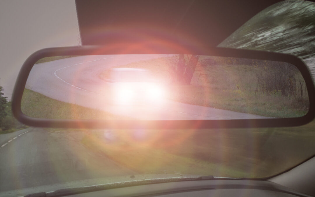
Driving down the Beltline at night these days makes me want to pull a Carrie Underwood and take a Louisville Slugger to the headlights of oncoming traffic.
What used to be a peaceful endeavor now feels like a survival challenge. If you drive after dark, you’ve likely noticed that shit has gotten a whole lot worse over the last few years.
It feels like everyone drives with their high beams on—but the LEDs are the culprit. They’re just SO much brighter!
People say the South is slow to change, but I refuse to let my eyes be burned out of their sockets in the name of innovation. These newfangled lights are out of control and I’m plum tired of it.
If you have LED headlights, it’s not your fault—but your car is blinding the rest of us. Manufacturers have been taking advantage of outdated regulations, and now we’re stuck staring at headlights 4 times brighter than they were 20 years ago.
My momma used to yell at my brother and me for turning on the car’s interior lights at night to look for a dropped Bojangles fry or lost toy. She said we’d get pulled over by the State Trooper because the glare would distract her from driving and get us in an accident. If the glare from that little overhead light is dangerous, these new LED headlights are a matter of national security.
With all the construction and new diamond interchanges on 440, the last thing any of us needs is to be temporarily blinded whenever a car is driving toward us. If bright headlights have ever pissed you off, please take two minutes out of your day to call Rep. Deborah Ross at 202.225.3032 and ask her to cosponsor the LIGHT Safety Act so we can see clearly on our roads again.
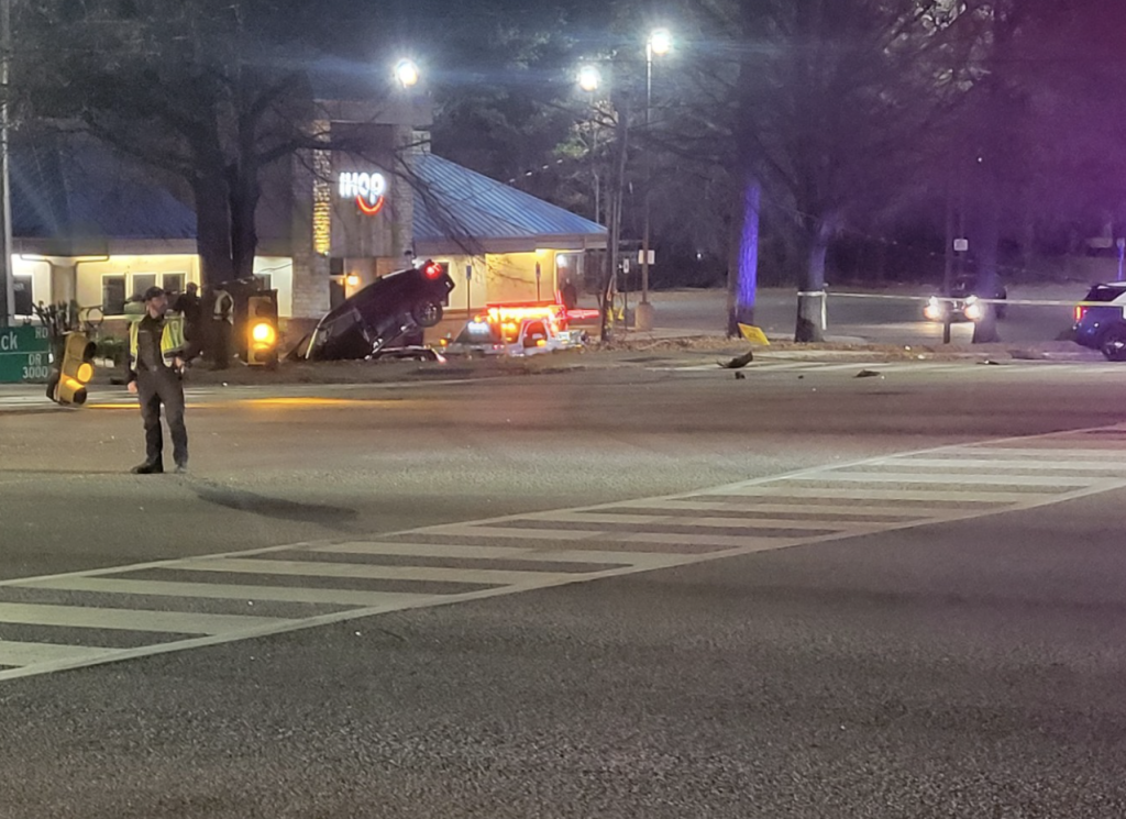
Raleigh already knows which intersections are most dangerous. The question is how quickly the City can redesign them before the next crash becomes another data point.
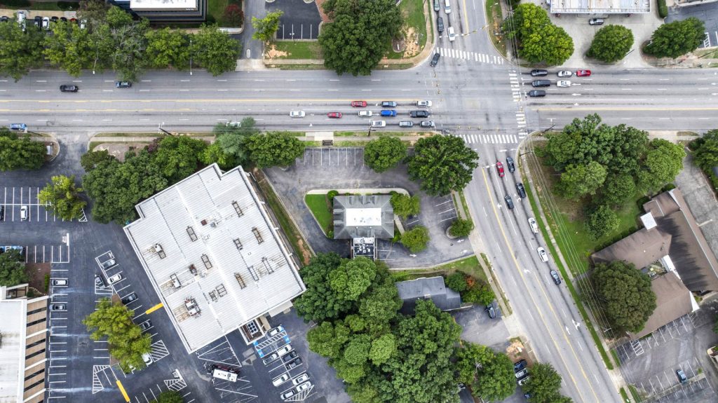
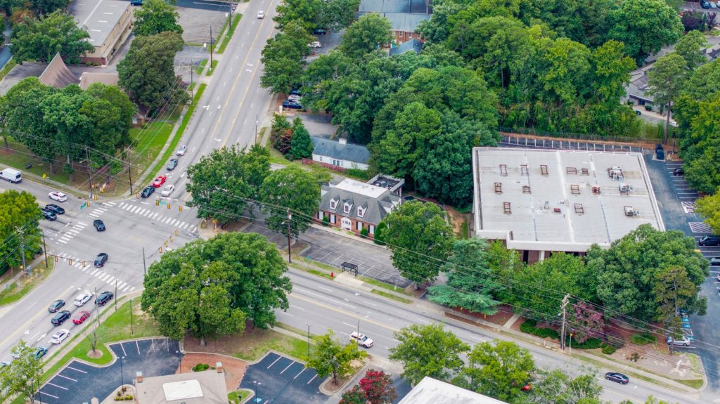
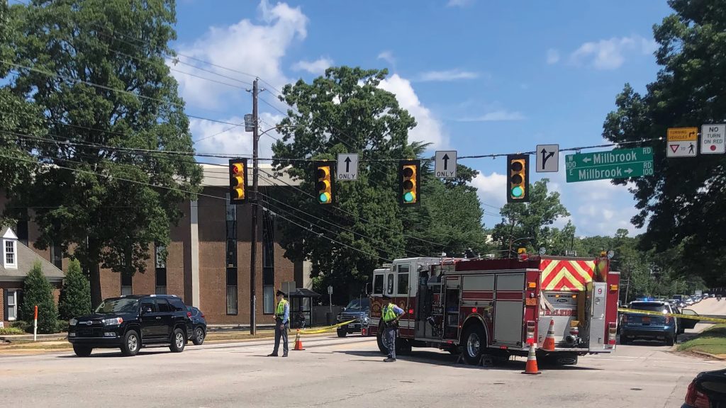
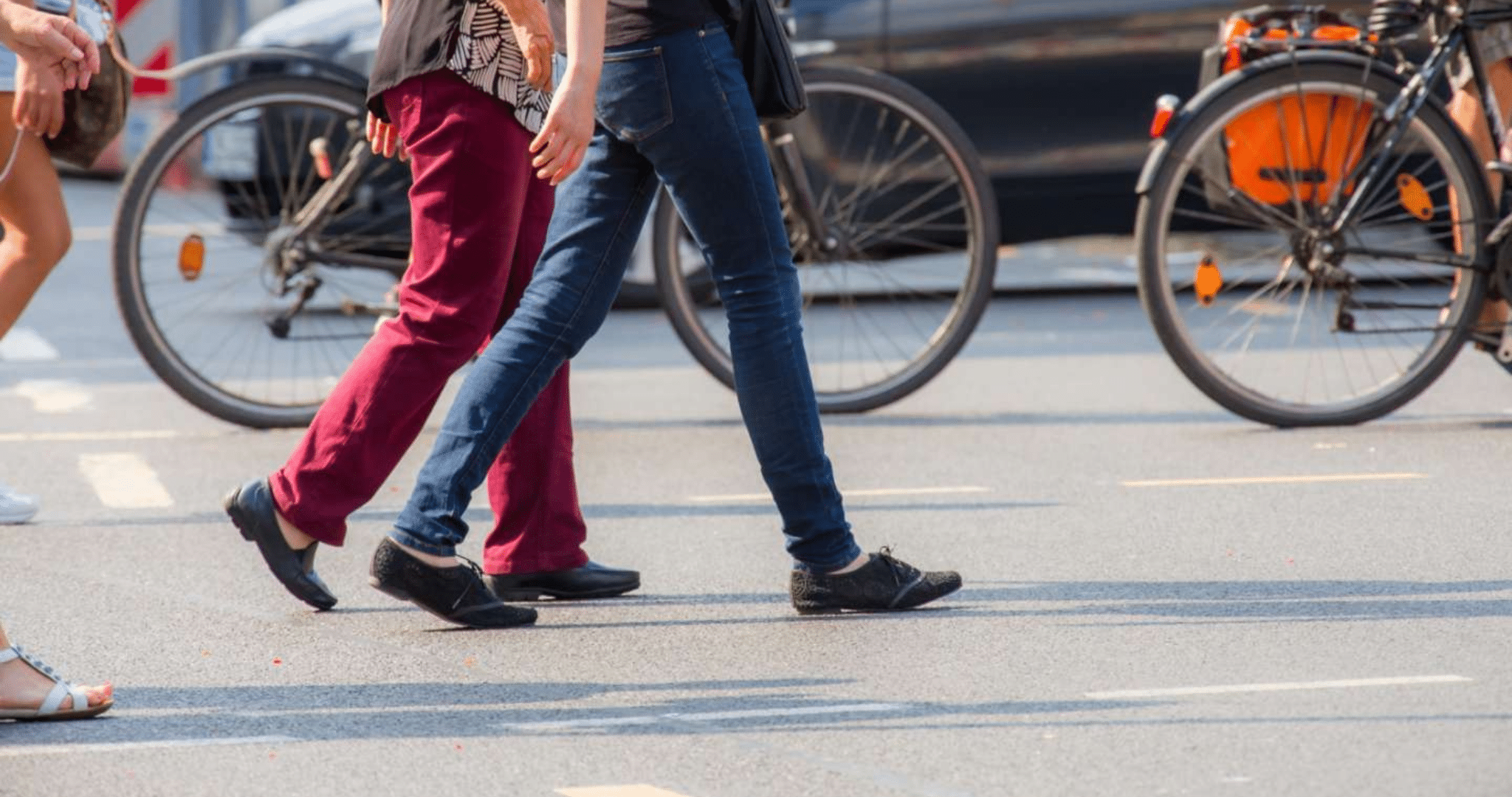
For pedestrians, Raleigh’s streets are a gamble. Six Forks and Millbrook. South Wilmington and East Davie. New Bern and Sunnybrook. These aren’t just intersections—they’re choke points.
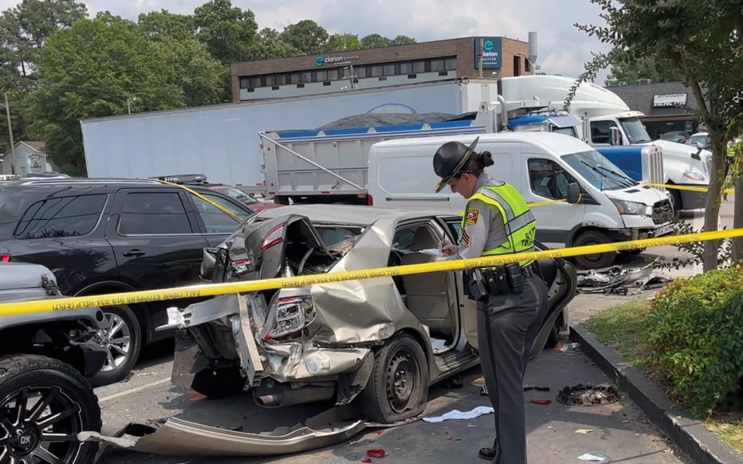
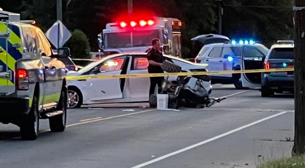
Now, for the first time, the City knows exactly where the danger is. Raleigh has formally mapped where severe crashes cluster. The newly finalized Comprehensive Safety Action Plan identifies the intersections where fatal and serious injury crashes happen most often—and outlines the infrastructure changes officials believe could prevent future deaths and injuries. But even the City admits the scale is massive.
DTR
Of the city’s ~10,000 intersections, just 200 account for roughly half of all fatal and serious injury crashes. And while intersections like Six Forks and Millbrook, South Wilmington and East Davie, and New Bern and Sunnybrook rank among the city’s most dangerous for pedestrians, cyclists and scooters, Raleigh’s newly developed High Injury Intersection list makes clear the danger isn’t isolated to a few notorious crossroads.
This is not anecdotal—this is a decade of crash mapping. The City built a formula to pinpoint where risk clusters most heavily. Raleigh’s High Injury Intersections are defined not by fatalities alone, but by a combined crash score factoring in fatal, serious, moderate and minor injury crashes. For pedestrians and bicyclists, Raleigh used a separate 10-year dataset tracking all pedestrian-involved crashes regardless of severity.
It’s not random—it’s a formula. These wrecks happen in predictable places with predictable conditions. “Fast growth intensifies road safety challenges as travel patterns, traffic volumes and transportation modes evolve,” said Mayor Janet Cowell. Raleigh’s risk equation boils down to speed + sprawl + split attention. Heavy traffic volumes, high-speed roads, constant turning traffic, poor visibility and long crossing times all contribute to the danger. The pattern is remarkably consistent: multilane roads built for speed colliding with growing pedestrian activity, bus stops, commercial driveways and cars turning in every direction.
In many cases, the danger isn’t a single catastrophic design flaw—it’s cumulative friction: a fast-growing city layered onto infrastructure originally designed to move cars quickly, not necessarily people safely. “The City of Raleigh—both elected officials and staff—is committed to eliminating all fatal and serious injury traffic crashes and creating a safer, more resilient transportation network,” said Cowell, acknowledging their pledge to reduce traffic fatalities and injuries by 50% by the year 2040 and 100% by 2055.
CBRE
Beyond identifying where these crashes happen—the question is how fast the City can fix them. To address the problem, Raleigh is leaning into what transportation planners call the Federal Highway System’s “Safe System Approach”—a strategy focused less on perfect driver behavior and more on making roads themselves more forgiving when mistakes happen.
The strategy was formally presented to Raleigh City Council this spring as part of the City’s Comprehensive Safety Action Plan, which prioritizes projects based on crash severity, risk patterns and resident feedback.
In practice, that means protected left turns, high-visibility crosswalks, refuge islands, upgraded signal timing, curb bump-outs and lower DTR speed limits—as well as better signage on street signs, pavement markings and improved lighting. “A lot of accidents happen at night,” noted Cowell. “We can also increase things like the median so pedestrians have a safe place to stop in the middle of a really wide street.”
Projects are prioritized using more than crash history alone, says Vision Zero Program Manager Sean Driskill, including pedestrian volumes, feasibility, anticipated costs and overlap with infrastructure projects.
But redesigning dangerous intersections is rarely fast—or cheap. Many of Raleigh’s proposed improvements remain tied to larger corridor projects, state partnerships or funding mechanisms that could take years to materialize. “Roughly half of the top 200 High Injury Intersections have already had some level of safety improvement completed in recent years or planned as part of a future project,” says Driskill. Still, many remain conceptual, unfunded or tied to larger infrastructure efforts that could extend the timeline.
Since 2022, the City says it has improved roughly 40 intersections through signal upgrades, enhanced lighting, pavement markings and other safety measures. While “no single intervention has been identified as universally most effective,” says Driskill, “instead, improvements are tailored to the specific crash patterns and roadway conditions present at each location.”
In one recent successful example at Bland Road, Falls of Neuse Road and Pacific Drive, converting a southbound left turn to protected-only movement during certain times reduced total crashes by 38% and injury crashes by 83%, with serious injuries dropping from two to zero.
Raleigh doesn’t have a mystery on its hands. It has a map. The challenge now is how quickly the City can redesign its most dangerous roads before the next crash becomes another data point.
CBRE
How the City Built the Map
Raleigh’s crash rankings are based on years of traffic data—not just headlines.
Overall rankings use crash data collected between 2019–2023
Pedestrian and bicyclist rankings use a separate 10-year dataset (2014–2023)
Unlike the broader rankings, the pedestrian list includes all pedestrian-involved crashes—not just fatal or serious injuries
Rankings will be updated periodically as new crash data becomes available
CBS 17
Safety Playbook
Raleigh’s “Safe System Approach” focuses less on perfect drivers—and more on roads that leave less room for catastrophic mistakes. What the City is doing:
Protected left turns
High-visibility crosswalks
Median refuge islands
Signal timing changes
Curb bump-outs
Improved lighting
Bus stop relocation
Lower DTR speed limits
Danger Zones
Highest-risk intersections for pedestrians & cyclists—and what the City says it’s doing about them.
New Bern Ave. + Trawick Rd. New pedestrian crosswalk added; more upgrades tied to New Bern BRT corridor
Millbrook + Six Forks Rd. Pedestrian improvements planned through revised Six Forks Road Improvements project
Capital Blvd. + Calvary Dr. Crosswalks & lighting upgrades complete; redesign plans include bus stop relocations, intersection geometry & median fencing
Capital & Crabtree Blvd. Signal timing changes in place; broader pedestrian safety overhaul in development
New Bern Ave + Hill St. + Sunbury St. Planned upgrades alongside BRT project
New Bern Ave. + Shanta Dr + Sunnybrook Rd Safety improvements tied to future BRT construction
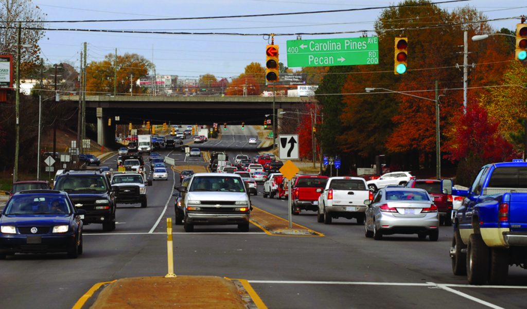
South Saunders St. + Pecan Rd. + Carolina Pines Ave. Seeking federal funding through Safe Streets for All Implementation grant application
Kent Rd + Method Rd + Western Blvd Signal upgrades complete; new pedestrian crosswalk planned after nearby I-440 work wraps
GlenwoodAve. + Brier Creek Pkwy. Future upgrades planned through NCDOT’s broader US-70 improvement project
The Raleigh Commons
Where Speed Wins
These intersections rank among Raleigh’s most dangerous overall for all modes, where speed and volume collide—literally.
S. Wilmington St. + Tryon Rd. Planned upgrades include high-visibility crosswalks, signal timing improvements, curb bump-outs & sidewalk gap fixes
New Bern Ave. + Trawick Rd. New pedestrian crosswalk installed; additional upgrades coming in conjunction with BRT corridor.
Capital Blvd. + Huntleigh Dr. Backplates, signal timing upgrades, new concrete curb ramps, additional signal heads & signal hardware upgrades planned through NCDOT partnership
CBS17
Capital Blvd. + Calvary Dr. Crosswalks & lighting upgrades complete; redesign plans include bus stop relocations, intersection geometry & median fencing
Poole Rd. + Rose Ln. Conceptual redesign complete; City exploring funding options
Forestville + Louisburg Rd. Converted into “Reduced Conflict Intersection” designed to limit dangerous turning movements, plus pedestrian crossing across Louisburg Rd.
Hammond Rd. + Rush St. Planned improvements include new pedestrian crossings, signal timing upgrades, backplates & additional signal heads
Saunders St. + Ileagnes Rd. Seeking federal funding through Safe Streets for All Implementation grant application
Glenwood Ave. + Brier Creek Pkwy. Future upgrades tied to NCDOT’s US-70 Improvement Project
Martin Luther King Jr. Blvd. + S.Salisbury + S. Wilmington St. Improvements planned as part of an NCDOT Spot Mobility Project
Raleigh aims to eliminate crash fatalities with new initiative
In 2023, Raleigh experienced over 19,000 car crashes, resulting in 41 fatalities. These staggering numbers—in combination with the city’s steadily increasing population—are inspiring plans for safer, more equitable and better-connected transportation. And thanks to a federal grant, the city is further working to build roads that are safer for all via a new program.
Aptly called “Safe Streets and Roads for All,” the initiative builds on the city’s Vision Zero program and prioritizes the elimination of roadway crashes resulting in fatalities and severe injuries—with the aim to reduce injury crashes by 25% every five years and 100% by 2045.
“Vision Zero and the Comprehensive Safety Action Plan are about taking a proactive approach,” explains Mayor Janet Cowell. To boot, the city will examine infrastructure, traffic patterns and crash data to identify and then implement necessary changes. “In a rapidly growing city like Raleigh, every safety improvement we make is essential to preventing future tragedies and protecting our community,” Cowell emphasizes.
An 18-month study with the initial grant is underway, observing what locations would most benefit from improved infrastructure—like additional protected left-hand turn lanes—and to understand what behavioral problems (like lack of seatbelt use or speeding) need to be addressed most urgently.
Once the study is wrapped up, a Comprehensive Safety Action Plan will be assembled—a requirement for eligibility to apply for up to $30 mill in additional grant money to help bring the plan to life.
Keeping Raleighites safe while driving has always been a top priority, though, emphasizes Sean Driskill, Vision Zero program manager with the City of Raleigh’s Transportation Department. “For the last two and a half years we’ve been making improvements around the city,” he says, “but this study will help us ensure the improvements we’re making are at the locations that will have the most impact.”
“There’s a small percentage of locations we can improve through infrastructure,” Driskill adds, “but if we really want to achieve Vision Zero we need many of the behaviors of drivers around Raleigh to change.” raleighnc.gov
If you’ve ever been stuck in traffic on Six Forks Road at 5pm on a weekday, celebration is in order. After years of planning and speculation, Raleigh City Council voted unanimously Feb. 20 to widen the stretch between Rowan Street and Millbrook Road.
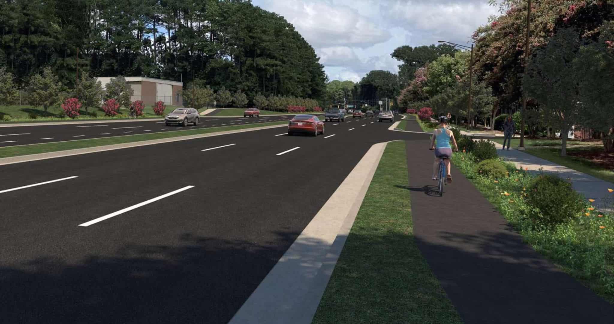
The future design of the improvement plan is a boon for more than just motorists, as pedestrians, cyclists, transit users and emergency vehicles will all reap the benefits. Rather than having separate sidewalks and bike paths as initially planned, the updated plan opts for a multiuse path to accommodate both. To wit, the path will be situated 8 feet from the road to ensure the safety of pedestrians and bikers while also leaving space for utility poles and trees.
Adapted due to rising costs, the project has already spent $3.8 million toward planning and design, with a total price tag clocking in at $56.1 million. Now that the next phase is in motion, Raleighites with businesses, churches and homes lining Six Forks have answers as to what might happen to their properties after years of uncertainty.
That said, Midtown traffic may get worse before it gets better. The project is scheduled to begin construction in late 2025 after obtaining approval from the NC Department of Transportation and will take two years to complete. Until then, it may be time to opt for an alternative route.